The Defense Meteorological Satellite Program is managed by the Space and Missile Systems Center, Los Angeles Air Force Base, Calif. Command and control is provided by a joint-operational team at the National Oceanic and Atmospheric Administration.
The DMSP mission is to generate terrestrial and space weather data for operational forces worldwide. The Air Force is the Department of Defense's executive agent for this program. The data from this program is also furnished to the civilian community through the Department of Commerce.
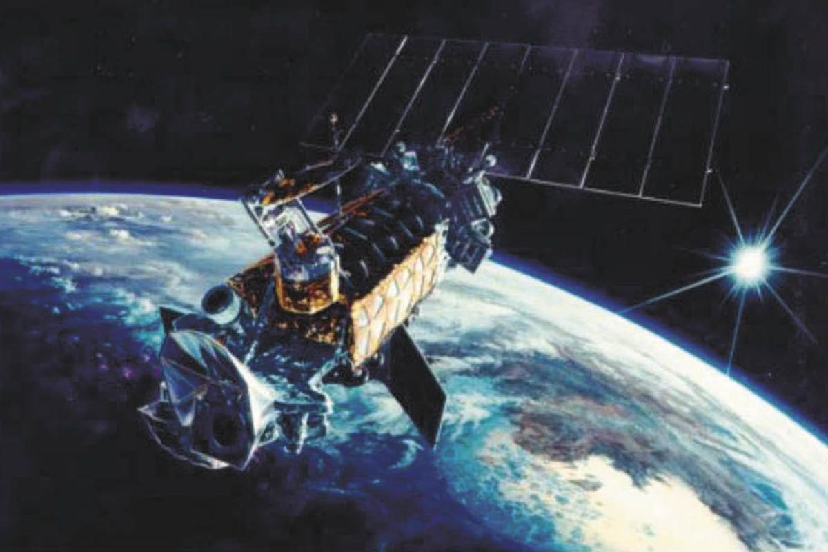
The DMSP satellites are designed to meet unique military requirements for worldwide space and terrestrial weather information. Through these satellites, military weather forecasters can detect developing patterns of weather, track existing weather systems over remote areas, and alert the civil and military communities of anticipated hazards in space to satellites and personnel.
Data from these satellites can help identify, locate and determine the intensity of severe weather such as thunderstorms, hurricanes and typhoons. It also can be used to form three-dimensional cloud analyses, which are the basis for computer forecast models to meet unique military requirements. Additionally, space environmental data is used to assist in high-frequency communications, over-the-horizon radar and spacecraft drag and reentry tasks.
All of this quickly available information aids the military commander in making decisions. For example, data obtained through this program are especially valuable to support the launch, en route, target and recovery portions of a wide variety of strategic and tactical missions.
DMSP satellites provide meteorological data in real time to Air Force, Army, Navy and Marine Corps tactical ground stations and Navy ships worldwide. This data is also stored in recorders on the satellites for later transmission to one of four ground stations located near Fairbanks, AK; New Boston, N.H.; Thule Air Base, Greenland; and, Kaena Point, Hawaii.
From these ground stations, data is relayed to the Air Force Weather Agency at Offutt Air Force Base, Neb., and to the U.S. Navy's Fleet Numerical Meteorological and Oceanographic Center at Monterey, Calif., where this information is used to compile numerous worldwide weather and space environmental products.
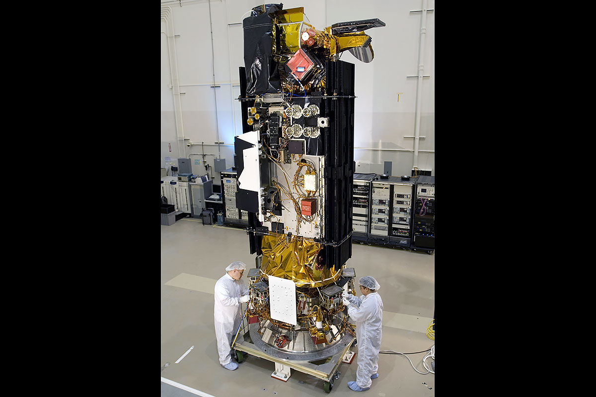
The launch vehicle's upper-stage and the orbital satellite have been integrated into a single system. This system navigates from lift off and provides guidance for the spacecraft from booster separation through orbit insertion.
DMSP satellites circle the Earth at an altitude of about 500 miles in a near-polar, sun-synchronous orbit. Satellites are three-axis stabilized and provide precision pointing to support mission sensors.
The primary sensor on board is the Operational Linescan System that observes clouds via visible and infrared imagery for use in worldwide forecasts. Each scans an area 1,800 miles wide and covers the entire Earth in about 12 hours.
A second important sensor is the Special Sensor Microwave Imager Sounder, which provides all-weather capability for worldwide tactical operations and is particularly useful in typing and forecasting severe storm activity. The spacecraft also carries a suite of additional sensors, which collect a broad range of meteorological and space environmental data for forecasting and analysis.
The Department of Defense's executive agent for this program is located at the Space and Missile Systems Center, Los Angeles Air Force Base, Calif. The Department of Commerce's National Oceanic and Atmospheric Administration also furnishes data from this program to the civilian community. A National Oceanic and Atmospheric Administration, Suitland, Md., joint-operational team provides command and control.
.")


")
")
")
")
")